Leon Bauer · 7 October 2026
Biodiversity Monitoring Through Voluntary Path Reporting in Remote Landscapes
Voluntary path reporting has emerged as a practical method for tracking biodiversity changes across remote landscapes where traditional monitoring proves difficult due to access limitations and resource constraints. Hikers, researchers, and local community members submit observations about trail conditions, wildlife sightings, and vegetation patterns through structured digital platforms, and these contributions feed into larger datasets used by conservation agencies. Data from such programs show measurable improvements in species distribution maps for areas like alpine regions and arid zones, where official surveys occur infrequently.
Mechanics of Path Reporting Systems
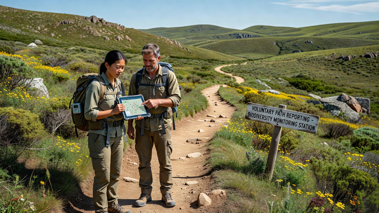
Participants use mobile applications equipped with GPS functionality to log coordinates, timestamps, and notes on encountered species or habitat alterations while traversing established or informal routes. Reports often include photographs of plants, animal tracks, or signs of environmental stress, and automated systems cross-reference these entries against existing ecological databases for validation. Government programs in multiple countries encourage participation by providing training materials and feedback loops that inform contributors about how their data influences management decisions, and this approach scales effectively because remote landscapes cover vast territories that agencies cannot patrol regularly.
Studies from the US National Park Service indicate that volunteer-submitted path reports have documented shifts in migratory bird patterns and invasive plant spread across backcountry areas with greater frequency than scheduled expeditions alone achieve. Integration with satellite imagery allows analysts to correlate ground-level observations with broader landscape changes, creating layered models that reveal seasonal variations in biodiversity hotspots.
Regional Applications and Data Patterns
In Australia, similar initiatives through the Department of Climate Change, Energy, the Environment and Water have collected path reports from desert and coastal hinterland trails that highlight correlations between rainfall variability and small mammal populations. Observers note that repeated submissions from the same routes over multiple seasons provide baseline data against which anomalies stand out clearly, and these records help identify emerging threats such as erosion or unauthorized access that fragment habitats.
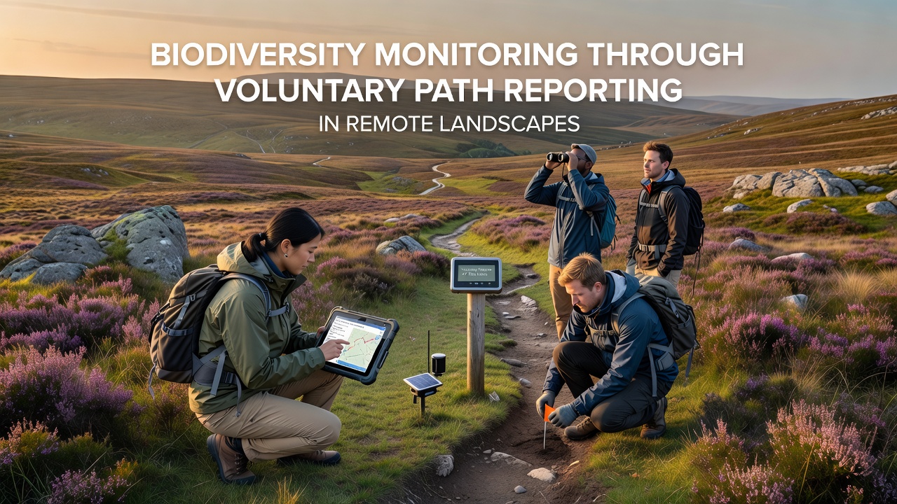
European Environment Agency projects have incorporated voluntary reporting into monitoring frameworks for mountainous and forested remote zones, where citizen contributions supplement satellite-derived vegetation indices. Figures reveal that path-based observations increase detection rates for rare amphibians and reptiles by approximately 30 percent in participating districts, while also flagging areas where human traffic disturbs breeding sites. Analysts process aggregated reports through statistical models that account for reporting bias, and results feed into policy documents guiding trail maintenance and access restrictions.
Technological and Analytical Advances
Machine learning algorithms now process incoming path reports to flag potential data quality issues or unusual sightings that warrant follow-up verification. Platforms standardize input fields for habitat type, weather conditions, and activity levels, which improves comparability across submissions from different regions. In October 2026 several expanded programs plan to roll out enhanced offline capabilities for areas with limited connectivity, allowing contributors to upload batches of observations once they regain signal.
Research institutions have published peer-reviewed analyses demonstrating that voluntary datasets align closely with professional surveys when sample sizes reach sufficient thresholds. These alignments support the use of path reporting for long-term trend detection in remote landscapes where funding for continuous fieldwork remains limited. Cross-border collaborations further strengthen datasets by merging observations from adjacent jurisdictions that share ecological features.
Challenges in Implementation
Accuracy depends on participant training and consistent use of identification tools, because misidentified species can skew distribution models if left unchecked. Platforms address this through community review features and integration with expert verification queues, while geographic coverage gaps persist in the most inaccessible zones where few people travel. Privacy considerations arise when reports include location details near sensitive sites, prompting developers to offer anonymized aggregation options that still retain scientific value.
Resource agencies manage these limitations by combining voluntary inputs with targeted professional surveys in priority areas, and results indicate that hybrid approaches yield more robust biodiversity assessments than either method achieves independently. Ongoing refinements to user interfaces and data protocols continue to reduce entry barriers for new contributors.
Conclusion
Voluntary path reporting supplies actionable information that enhances biodiversity monitoring in remote landscapes by extending observational reach beyond what centralized teams can accomplish. Aggregated data from multiple regions demonstrate its value in detecting ecological trends and guiding conservation responses, and expansions scheduled for October 2026 aim to broaden participation further. Continued integration with remote sensing and analytical tools positions this approach as a sustained component of environmental management strategies worldwide.